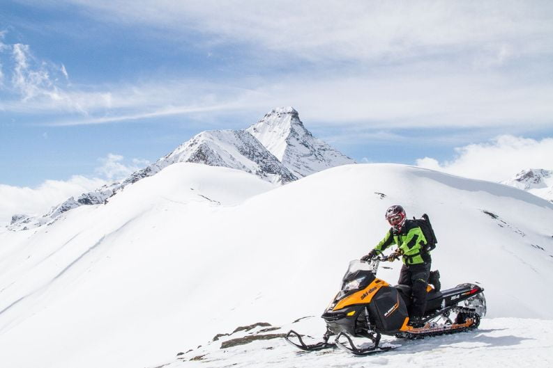
Michigan Snowmobile Trail Report
The season is in full swing and mother nature gave us a big Christmas present over the weekend. With one to two feet on average and over 2 ft in the lake effect areas off Superior and Michigan, All of Michigan picked up a good portion of snow, but the U.P. and Western lower got Hammered!

The high winds we experienced have taken branches and some trees down so watch for debris on the trail and let the groomers do their work. We have a warm-up into the 40s with some rain later this week, let’s hope it doesn’t last long, Be safe, and have fun.
General Idea
We expect light snow in the IL, IN, and OH generally less than an inch. There is nothing new in the latest forecast. There will be a pretty much quiet week ahead and mixed ideas for next week’s first half.
Michigan Trail Report
From January 1 to January 5 the majority of the Midwest looks to be reasonably quiet for the rest of this week. The temperature will be stood between 5 degrees to Max 15 degrees as we go through the first week of January. A frozen line will run across southern MN, central IL, and the eastern UP, because of that the temperature will cool some for Friday.
Trail Report Michigan For Snowmobiling
From January 6 to January 15 An area of low pressure is predicted to bring rain chances to much of the Midwest by Thursday and Friday. At this point, most of the rains look to be very spotty and light. This light rain will not cause too much damage to snow conditions or be too much of a deterrent to snow play across the northern 1/2 of the Midwest.
Another low is seen for Monday and early Tuesday of this week. The models have some different thoughts on what it will bring to areas NW of a line from around Omaha NE. The GFS was the warmest (least snowy) of the models and is the same today. If anything, it is a bit warmer and less snowy than it was yesterday. It suggests most of the precip fall as rain, with snows of 5-10″ across the NW 1/2 of MN and the eastern Dakotas.

The European model sees snow to fall in the southern 1/2 of MN, the northern 1/2 of WI, and all of the UP, with a general 5-10″ falling. The northern edge of this heavier snow band would stay south of a line from around Watertown SD to Duluth.
This event is still a long way out in the forecast and with the models not in the best agreement with the details, I do not want to try to be picking sides. As always, time will tell what the storm will do. Since the precip (what form it falls in) will not arrive until Monday, the period through the weekend looks to be pretty good for snow play across the northern Midwest.
Conclusion
The weather conditions are very unexpected in this region of the world. You never know what will happen in the next day or two, So you have to prepare yourself for the worst and hope for the best. This week looks good for snow play there will be some lighter rainy conditions on trails but you will manage them easily if you are properly prepared.


